
Maps credited to David Rumsey Collection in here. With due respect to the original author, I try to mimic the creation between this map just out of curiosity about my beginner skills in design software. In the end, I learned many new things in the process. The penmanship, the abstractness, the imprecision during that time, even the naming of their regions. I now clearly see that map is truly an artwork masterpiece, not as a mere result of automation. Here is my result of trying to copy the work of the greatest Bellin as a cartographer. Not even the slightest of his greatness but it is a decent one. I tried to improve the accuracy by using current data but keeping their original naming and styles.
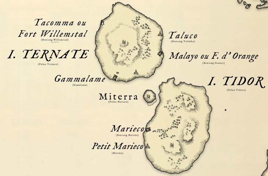
I really like the old appearance more than the real imagery capture. It is two different things but I felt the hardship and arts toward the map creating for this simple two islands. Also, it is a more simplistic look and it is elegant, at least for me.

The skill is really complicated when it comes to these random shorelines. It is more simple on the old ones rather than maintaining accuracy in today’s world.

Notes: the accuracy is subject to the creator.
