
First try on creating Fantasy Maps on Photoshop with a help of ArcGIS Pro. The archipelago landmasses based on a real archipelago named Waigeo, Raja Ampat in West Papua. However, all the names (island, river, etc) are mostly fiction. I really satisfied with the overall results as a real beginner.
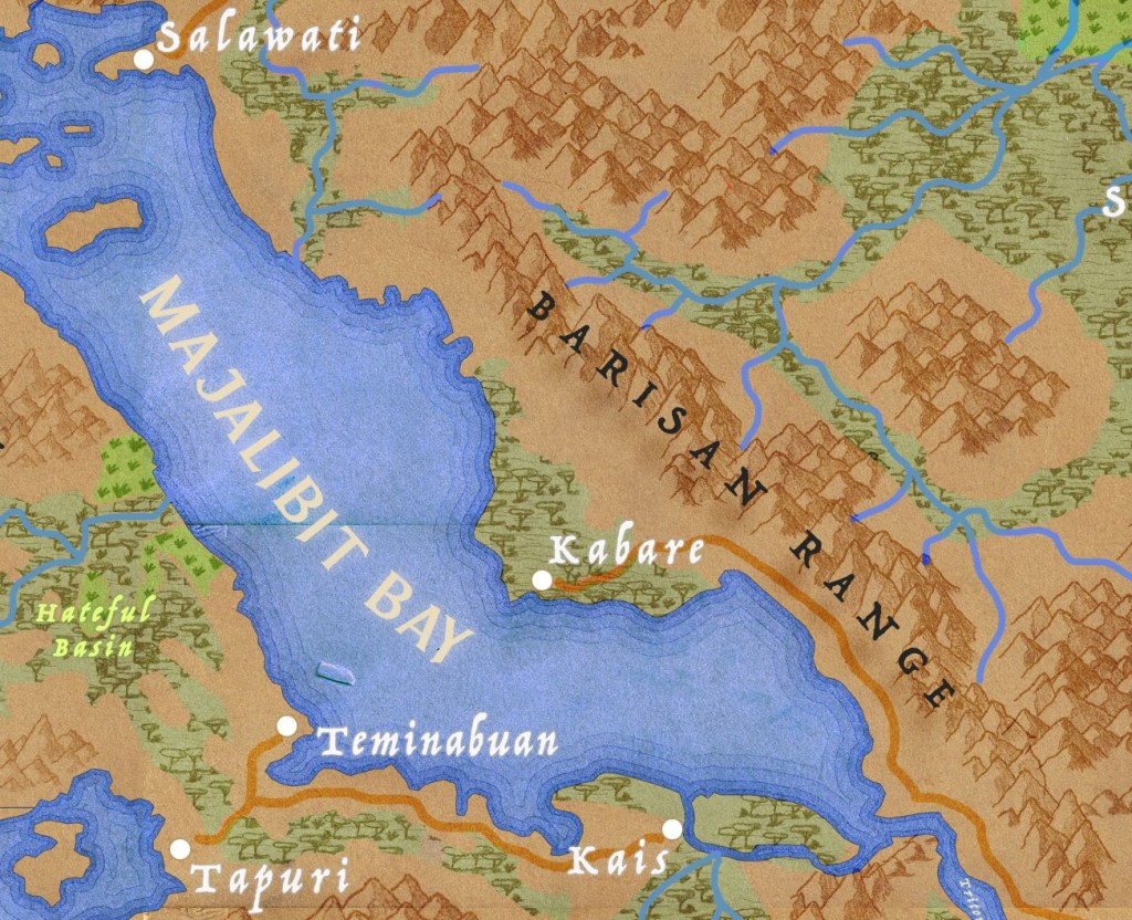
I try hard to implement the real topography of the island to the imaginary one and it is complicated to adapt. It is true that it is supposed to be a fantasy map so you just need to let your mind wander to your wildest imagination. I guess I lack of inspiration in the first place haha.

I am out of creativity with the stamp in Photoshop. It is a whole new thing for me and I may need to come up with something creative and different. But for starters, it is a decent thing. I am happy with the result.
